
Finding Who Lives on a Benicia Street
A Benicia street directory search is an address-to-record walk. The first result usually concerns land, not a household. The Assessor's property search accepts an APN or street address, the parcel map identifies nearby APNs, and the Recorder's index supplies party names only after the parcel or current owner gives the search a starting point. Historical directories and newspapers can then test whether a person was present in an earlier period.
- Enter the street address or APN in the Solano property search, using less detail if the first query is too narrow.
- Open the parcel-map or ReGIS view and note the subject APN, adjacent parcels, and any lot or block clue.
- Confirm current ownership at the Assessor counter when the public result does not expose the owner name.
- Search the Recorder as grantor and grantee, adding a document class and date range to trace the title chain.
- Use Benicia permits, historic surveys, newspapers, or a reverse directory for the time-specific household question.
This order prevents a common error: treating an address as if it were a searchable person field in every system. Each stop answers a narrower question, and the chain is strongest when the APN, legal description, date, and name agree.
Turn a Benicia Address into an APN
The Solano property portal at ca-solano.publicaccessnow.com offers one search control for APN or street address. The county's Assessor information page supplies the office context behind that parcel search. County tips say that partial street text can broaden the match and that compass prefixes and endings such as ST, LN, and AVE may be omitted. An APN is the parcel identifier that lets the address trail continue into maps and property records.
| APN or Street Address | Required text field; use an APN or a partial address when a full entry misses. |
|---|---|
| Search | Submits the parcel query. |
| Advanced or help control | Opens search tips; no public owner-name mode is advertised. |
| Counter fallback | Assessor research at 675 Texas Street, Fairfield, Monday-Friday 9 a.m.-4 p.m.; (707) 784-6210. |
The public card is a lead to parcel identity, assessment concepts, exemptions, and property characteristics. Research staff warn that the data may contain errors or may not be current or complete. Current ownership and mailing information should be confirmed with the Assessor rather than inferred from a search-card field.
The Solano property-search capture shows the address and APN starting point for a Benicia street directory trail.
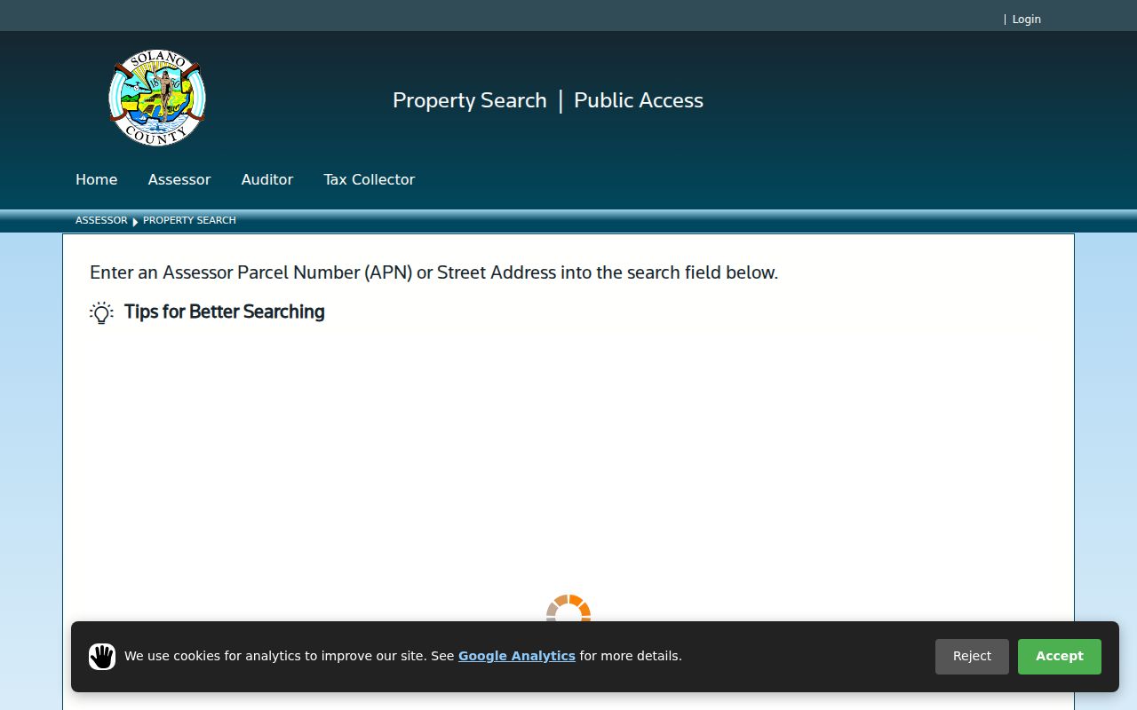
The parcel query narrows a street to a mapped unit before any deed-party search begins.
Benicia Streets in the Parcel Viewer
Solano ReGIS and the county's assessor parcel-map guidance add the geography that a text search lacks. Locate the subject parcel, pan to the parcels beside and across the street, and write down each APN before opening a new property query. The public map is a way to establish parcel geometry and adjacency. It is not a directory of occupants, and the exact identify, measure, buffer, selection, and layer controls were not verified in the text capture.
Benicia's geography needs care. Downtown grew from Jasper O'Farrell's 1847 plat with numbered streets and lettered cross-streets. The Arsenal developed as a separate military compound, so its building designations and address history do not always behave like the downtown grid. A map view can show that two addresses are near one another while the deed legal descriptions remain the proper bridge for historical continuity.
Solano ReGIS is the public map entry point for a street-by-street parcel walk.
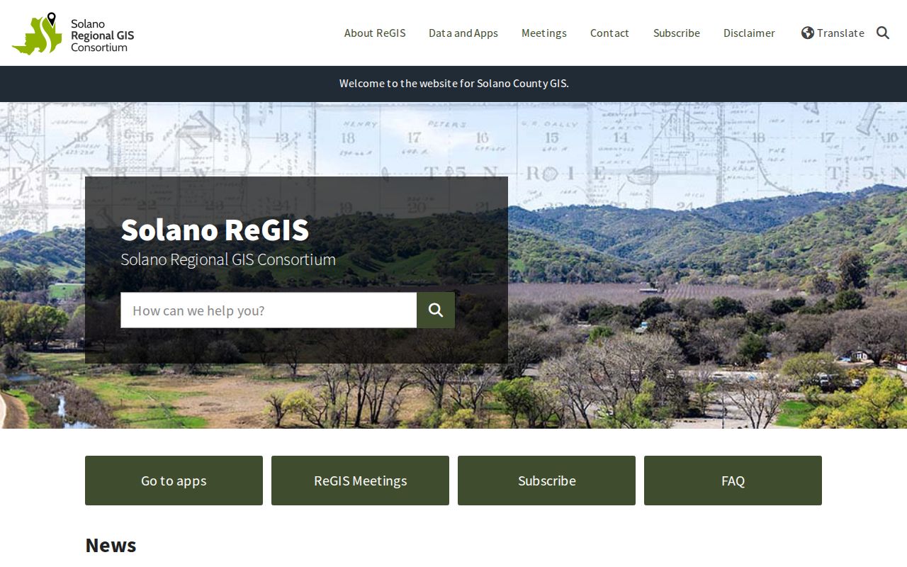
The ReGIS capture is useful for orientation, but an APN from the map should be carried into the county property and Recorder workflows.
Note: A parcel next door can be adjacent on the map while its owner, mailing city, and recorded legal description differ.
Benicia Records Searchable by Street
Several record sets can be reached from a Benicia address, but they do not all name the same kind of person. The property record describes a parcel. A deed describes parties to an instrument. A permit names people tied to a project. A historical survey describes a building and its significance. Voter-file access is purpose-limited and has no public street browser.
| Record set | Keeper | Street-level value | Access channel |
|---|---|---|---|
| Property search | Solano Assessor | APN, address, assessment, and property characteristics | Online lead; counter research |
| Parcel map / ReGIS | Solano County resources | Parcel geometry and adjacent APNs | Public map viewers |
| Deeds, liens, releases | Solano Recorder | Parties, document type, dates, and title clues | Online index; counter, microfilm, or mail copy |
| Permit history | City of Benicia | Project address, work, dates, and public applicants | ViewPoint; virtual or scheduled viewing |
| Historic surveys | City and library links | Address-organized photographs, description, and associations | Web and local-history referrals |
| Qualified voter file | Solano Registrar of Voters | Approved residence and precinct analysis | Statutory-purpose request only |
Chain the sets with the APN, legal description, street name, date, and party role. When the goal turns from a full street to one person, the Benicia resident lookup workflow is the narrower next step.
Situs, Mailing, and Legal Addresses in Benicia
Address words look alike but serve different systems. A situs address locates the assessed parcel. A mailing address is where tax or public notices are sent and may be elsewhere. A deed legal description identifies the land through lot, block, subdivision, or another recorded description. A street directory search becomes unreliable when these are treated as interchangeable.
- APN
- The Assessor's parcel number, used to identify mapped land in property systems.
- Situs address
- The location assigned to the parcel, not a guarantee of the owner's residence.
- Plat
- A recorded map showing a subdivision, lot, block, or related land pattern.
- Legal description
- The deed language that identifies the land and helps bridge address changes.
- Criss-cross directory
- A historical street-order listing, available only in a volume that actually contains that section.
For a downtown property, compare the APN and legal description with the 1847 grid. For an Arsenal building, retain the compound name or building designation as well as the street clue. A missing number is a reason to compare maps and deeds, not evidence that a person or structure disappeared.
Benicia Permits by Address
Benicia's ViewPoint Permit History Search adds an administrative trail to the parcel. The city describes categories that include building, code enforcement, planning, public works, and fire. A permit may name an applicant, owner, contractor, project address, date, and work description where the record is public. It does not establish that the named person lived at the site.
The Permit Services Center is fully virtual for paper applications. Technical help, payment, or document viewing may be handled in person by appointment, generally from 9 a.m. to 3:30 p.m.; walk-ins are not accepted and plans are submitted electronically. Building Safety lists buildingsafety@ci.benicia.ca.us and (707) 746-4230. Monthly issued-permit PDFs can supplement the search when the dynamic record is hard to use.
Benicia Permit History Search is the correct city channel for an address-specific project trail. A narrow CPRA request can ask the City Clerk for an existing permit, planning, or code-case record when the portal does not expose it.
The Benicia Recorder's Street Search Limit
A common street directory myth is that every deed can be found by typing the street name into the Recorder. Solano's public FAQ says addresses are not stored in the official-records database. Simple Search combines a party name, year, or record term. Advanced Search separates grantor and grantee, document dates, and document type. The address-to-owner pivot must happen before the party search.
The online index and county FAQ are only one access channel. The public research area has computer images reaching 1955 and microfilm reaching 1848. Earlier or image-only material can be pursued at the counter or by mail. A mail copy request supplies the title, party names, document number, book and page when known, recording date, and a phone number, then goes to 675 Texas Street, Suite 2700, Fairfield, marked “Recorder Copy Request.”
Posted copy charges are $9 for the first page, $1 for each additional page, and $6 for certification. Payment and mailing rules belong to the county's current instructions; the Recorder does not email documents.
The Solano Recorder FAQ capture highlights the no-address limitation that shapes every Benicia street directory search.
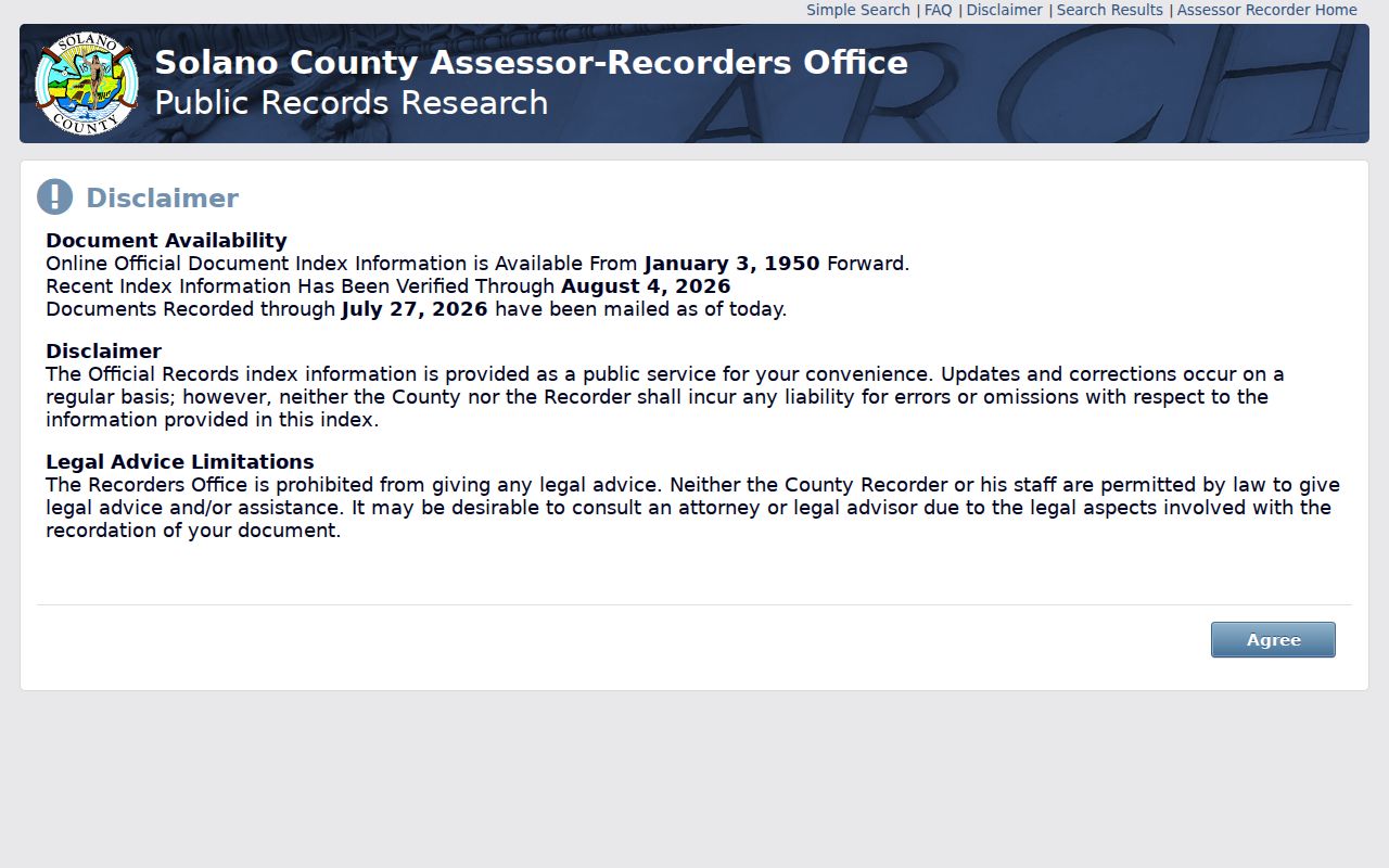
When the street is absent from the index, carry the owner or grantor name forward instead of repeating the same address query.
Deed Chains Behind Benicia Addresses
Once a parcel and current title party are known, the deed chain becomes a dated name trail. Search the current owner as grantee, identify the prior grantor, then search that seller as grantee in an earlier range. Confirm the APN or legal description and the recording date at each step. A paired release or reconveyance matters when a lien appears, because an indexed lien alone does not establish a present obligation.
Recorded documents can reveal a deed, lien, easement, release, or other instrument. They do not list every occupant, and the public index is not a current resident roll. The chain is strongest for land history. A historical household requires a second layer from newspapers, census schedules, directories, cemetery material, or the Museum archive.
Note: Index text locates a document; the recorded image and legal description carry the substance needed to check a title step.
Benicia Streets in Historic Surveys and Directories
Benicia's historic-property survey forms are organized by street and address, with photographs, physical descriptions, significance narratives, and associated persons where a survey contains them. The City's historic context report is a companion source. The four Sanborn editions add a mapped time check: February 1886 focused chiefly on First Street; January 1891 added the Arsenal and East Fourth and I Street areas; June 1899 showed expansion along I and J streets toward West Eighth; August 1913 is the later comparison.
Those maps are not occupant directories. They show a structure's footprint, use, outbuildings, and street-number context. The Historical Society's house-history route pairs Sanborn sheets with surveys, Museum photographs, census schedules through 1950, and the 1899-1977 newspaper run. A reverse directory, when a chosen historical volume actually has one, adds a name-to-address clue for its own year.
The Benicia city directory collections page keeps the verified 1871-72, 1874, 1878-79, 1884-85, and 1928 issues separate from modern parcel records.
Benicia Street Directory Needs a Time Clue
Benicia has no verified citywide renumbering event in the research record. If a number disappears, compare the deed legal description, subdivision map, successive Sanborn sheets, and the historic survey. The downtown grid and separately developed Arsenal can produce different address histories inside the same postal city. A street search without a year can therefore join two structures or miss the older name entirely.
For a past household, search the library newspaper titles around the directory year, compare the 1950 census where available, and use a cemetery or probate clue to explain a departure. The result should say what is known and what remains a lead. That restraint is part of a reliable street directory, especially when an old address is being used for family history.
Privacy Limits on a Benicia Street Directory
A street directory can show a parcel, a recorded party, a permit relationship, a historical subscriber, or a qualified voter-file record. It cannot supply a guaranteed list of everyone in a household. Renter and household-member information is not a public county street browser. DMV personal data, utility customer details, sealed court material, protected-voter information, and Safe at Home addresses have separate limits.
Lawful use. Use Benicia address records for personal research, family history, civic understanding, and safety awareness. Do not use a street, parcel, or name trail to stalk, harass, intimidate, or harm another person.
The official custodian is also the correction route. Ask the Assessor about assessment data, the Recorder about an index or image, the City about a permit, and the Registrar about a qualified voter-file request. A commercial compilation may be a lead, but it cannot expand a public record's lawful scope or fix a custodian's data.